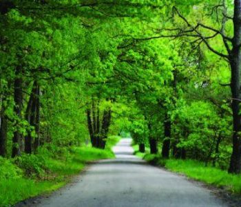
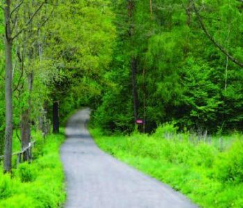
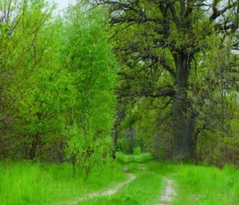
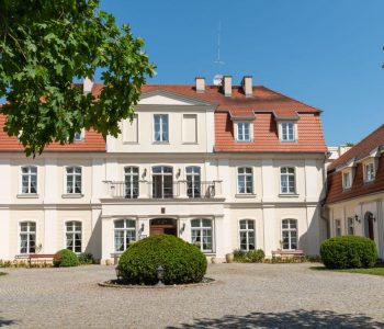
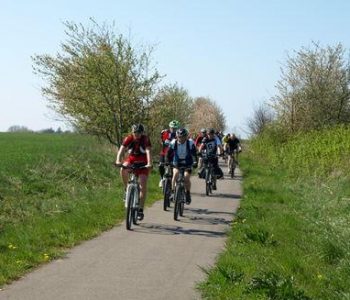
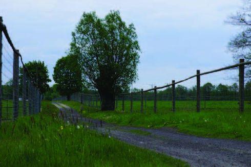
The route is marked out alongside forest roads, sandy roads and fields. Initially the route overlaps the other routes and than, next to the pulse measuring point on the 2600th metre it turns right towards the forest in the distance. After 800m we enter the forest and following the signs we turn left. The road winds uphill through a beautiful forest. At the next junction we turn lef twice and after 5,2 km from the beginning of the walk we reach the highest point on the route. After a one kilometre descent we reach a surfaced road. On the right we can see a section of a cobbled road to Świetlin. We turn left and after 700m reach the forester’s lodge. Having walked the next 600m we reach a dirt ‘highway’. We turn right, join the red route, and we reach apulse measuring point. We turn left and having passed two aged oaks after 700m we reach the Great Canal. On this section of the route we need to be careful as the surface of the road is not very good quality but this inconvenience is compensated by the walk along the banks of the Great Canal among rich riverside vegetation. We cross a small bridge and come to an exercise board. From now on the black route, the red route and the green route overlap. We walk between fallow deer enclosures and along Łąkowa Street we come the church in Bożepole, finishing the walk.

trasa nr 27 lesna czarna
