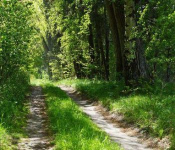
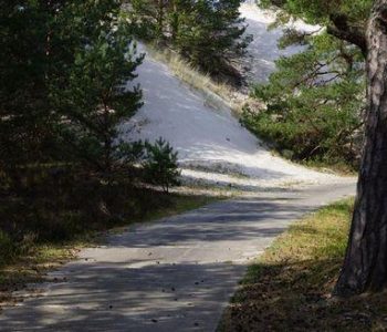
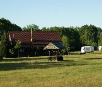
Having done a warm-up we enter the route turning left from the car park.Walking along the pavement after 200m we turn right into a linden alley and than we enter the forest. After 1,6km we turn left to walk for about 500m through an open area and reach a pulse measuring point where we measure pulse using the help of the table shown on the board.Walking on after 3,6 km we cross a tarmac road. Then we follow a gravel road and after turningleft we reach a clearing where we find a shelter with a place for a bonfire and benches for leisure and recreation (remeber to leave this place as we found it – neat and clear). The exercise board can be found here as well. After about 100m we turn left into a dirt road to reach the buildings of Kopalino after 5,4 km from the beginning of the walk. From here we walk for another kilometre and finish our walk.
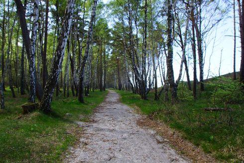

trasa nr 2 kopalino czerwona
