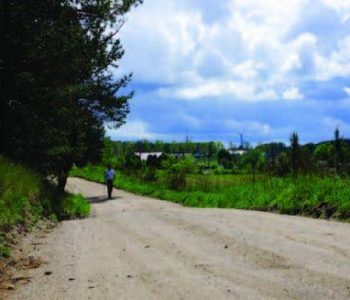
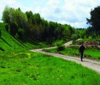
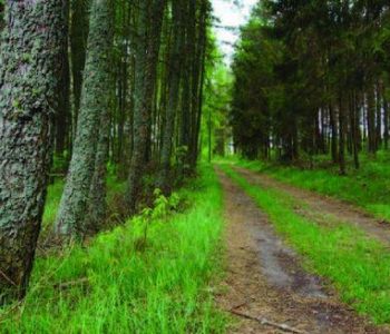
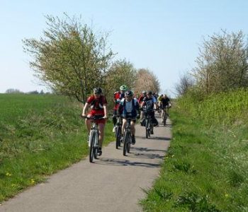
Most of the red route is marked out along excellent quality dirt roads and sandy forest roads. The final 1km section is marked out along a pavement with street lights. The starting point is located in the car park near the Stadium in Linia. Having done warm-up we start the walk. We pass the wind turbines and reach an exercise board. We turn sharply right and alongside the green route we reach a pulse measuring point. The green route goes straight and we turn left. Along a sandy forest road we reach the buildings inthe village of Niepoczołowice where we turn left at the crossroads. After 3,4km from the beginning of the walk we reach the forest and we turn lright and than left near a characteristic power line. Along a sandy road, between scattered buildings of Niepoczołowice we reach a roadside shrine. We turn left and go towards a firefighting tower visible in the distance. After further 2,2km we reach a pulse measuring point. 800m earlier a junction with the yellow route. We turn into Ogrodowa Street, turn left, walk along the pavement towards Niepoczołowice and reach the point where we started our walk.


trasa nr 18 niepoczolowicka czerwona
