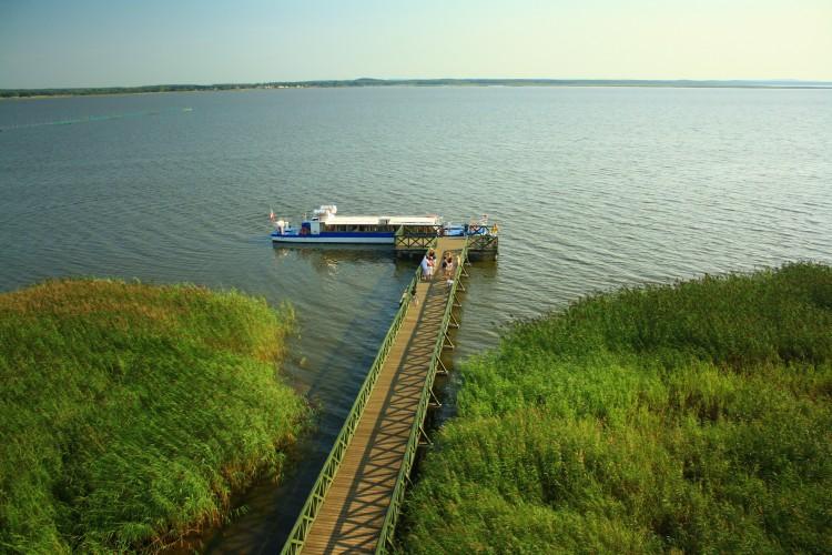
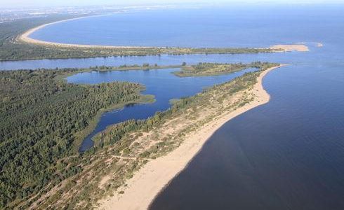
Since 1941, the lake’s area has decreased by ca. 382 ha. This trend is still ongoing, and the process of its silting-up can be observed throughout its entire area. Near the coasts, this can be attributed to the sedimentation of sand blown in from the dune areas of the Łebsko Spit and the advancing development of rushes which grow on coastal shallows and marshy shores. They create around this body of water, a belt with a width ranging from several to nearly 400 metres. Also, away from the shore, one can observe a year-by-year increase in the area of newly-formed rushes islands emerging from the water.
The water in the lake is eutrophic (abounding in nutrients), and is not very transparent. Furthermore, contaminants transported by the rivers flowing into the lake and from drainage ditches result in a water quality of only the 3rd class of purity. Due to its area and its location inside a zone with strong winds (with an average speed of 4.1 m/s), on Łebsko Lake, you can observe large waves. Similarly to Gardno Lake, during the stronger gales blowing in from the Baltic, sea-water flows into Łebsko Lake. This periodical phenomenon of backwater, meaning an influx of salty sea water through the estuary of the Łeba River, results in a small, variable salinization of the lake’s water and a periodical elevation of the water level. The difference of only 10 cm between the water levels of the Baltic and Łebsko considerably intensifies this process.
In some places the salinization level can reach up to 0.1 per cent. The floor of the lake is scarred with deep parallel gullies. The southern coast is mostly marshy with lush rushes. Due to the need to protect the hatching sites of waterfowl, only specific parts of the lake are available to tourists. On the southern shore, one can visit the following fishing villages: Żarnowska, Gać, Izbica and Kluki, and on the northern there is Rąbka.
